
Saturday bike ride along Noordzeekanaal and the beach
by bernt & torsten
Windy day, today is just a recuperation bike ride, not going to push hard just work flush out my leg muscles and do a bit of hill work. Yes, we have small hills that we can practice on in Bloemendaal about 2o km from my house, on the street Hoge Duin en Daalseweg in Bloemendaal you have a hill at each end of the street, so you can bike it a few times back and forth.
Hoge Duin en Daalseweg in Bloemendaal

What I found interesting is that Bloemendaal is one of the wealthiest places in the Netherlands. So is it that only wealthy people have access to hills in this part of the Netherlands?
Noordzeekanaal
To get to Bloemendaal I take a longer route along the Noordzeekanaal(North Sea Canal) to IJmuiden. The North Sea Canal is a man-made channel constructed between 1865 and 1876 that connects Amsterdam to the North Sea at IJmuiden and in Amsterdam, the canal connects to the Amsterdam-Rhine Canal.
I like this ride along the canal – today it was a bit hard as I had the wind straight in my face, I just powered on as I knew that heading home I would have the wind in the back. I get discouraged sometimes when I go on my own and get passed by bikers much older than me, that happen today, I was near Veer Spaarndam on my way to IJmuiden when I heard shouts behind me to move over, so I did and 4 elderly men in their late 60’s passed me on their road bikes, I tried to tag along with them, they had a higher tempo than I could keep.
Velsen-Zuid
In Velsen-Zuid in the outskirt of IJmuiden, I turned towards Santpoort Noord, continue to pass Santpoort Noord to Santpoort Zuid were I passed by the Ruïne van Brederode. The Ruïne van Brederode is a castle that was built in the second half of the 13th century by William I van Brederode (1215–1285). The castle formed part of the high lordship Brederode, which had been given in loan in the 13th century to the lords of Brederode by the count of Holland.
Bloemendaal
I arrived at the Hoge Duin en Daalseweg in Bloemendaal – raced up the short hill and continued tills I got to the road Zeeweg – I followed Zeeweg to the beach at Bloemendaal aan Zee. At Bloemendaal aan Zee I run into a group of sidecars biker, they had come to the beach to have lunch together, it was amazing the variation of Sidecars on display.

I biked along the beach road towards Zandvoort – today there was a fitness competition on the beach in Zandvoort lots of people, even when it was cloudy, windy and only 16 degrees celsius.

Eating a light meal in Zandvoort I headed back home, now I had the wind in the back and it felt good – getting home I navigate the streets of Haarlem before I got back to my place.
Haarlem
Haarlem became a city in 1245, located on the river Spaarne, about 20 km (12 mi) west of Amsterdam. Haarlem has a rich history dating back to pre-medieval times, as it lies on a thin strip of land above sea level known as the strandwal (beach ridge). Harlem, Manhattan got its name from Haarlem in 1658.
When the Dutch colony of Nieuw Nederland (New Netherland), founded the settlement of Nieuw Haarlem in the northern part of Manhattan Island as an outpost of Nieuw Amsterdam (New Amsterdam) at the southern tip of the island. After the English capture of New Netherland in 1664, the spelling changed to Harlem.
Here are my routes from the ride today.


Tech Disillusionment
For four decades, I have worked in the tech industry. I started in the 1980s when computing...
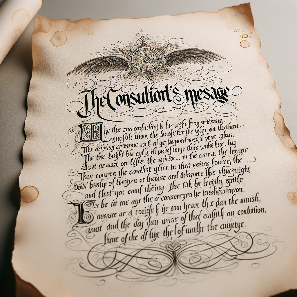
A Poem: The Consultant's Message
On a Friday, cold and gray,
The message came, sharp as steel,
Not from those we...
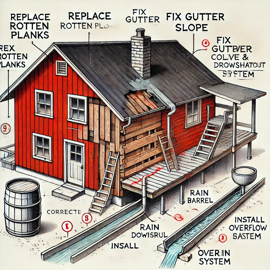
Using AI to Plan Wall Repair and Gutter Installation
In this article, I will share my experience using AI to plan the work required to fix a wall...